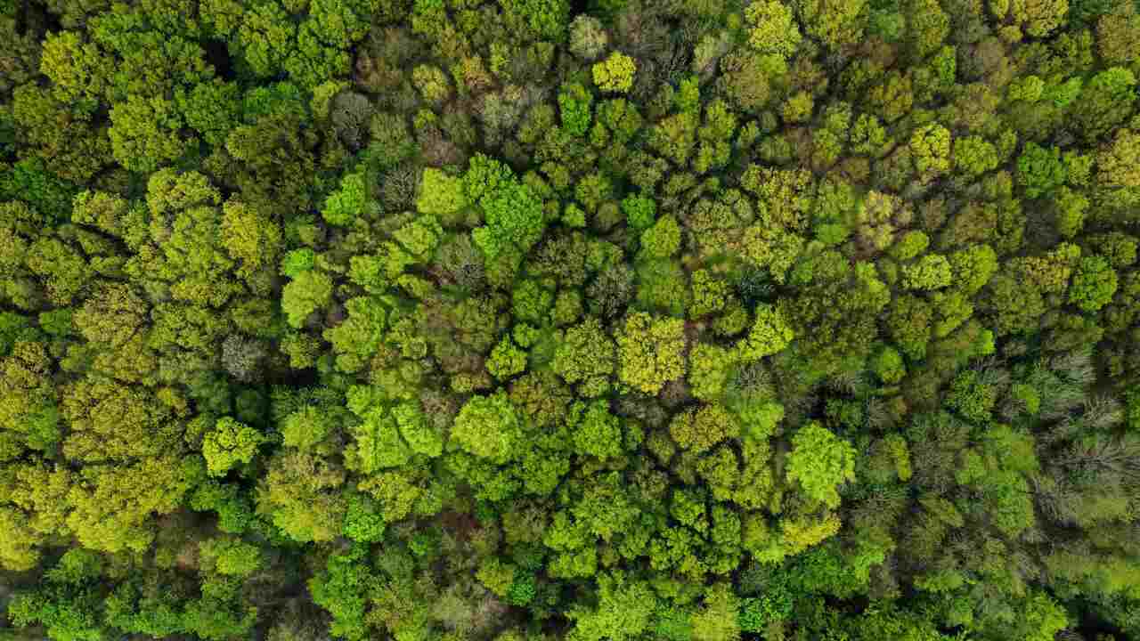
On the NDVI map, dense forests and grasslands both appear green. The difference is just one grade level, and the eye can easily overlook it. The numbers do not lie.
There is one formula, but different band numbers
NDVI compares two things: the red light absorbed by leaves and the near-infrared light reflected by them. Chlorophyll strongly absorbs visible light at 0.4 to 0.7 micrometers. The cellular structure of leaves, on the other hand, strongly reflects near-infrared light at 0.7 to 1.1 micrometers. The denser the leaves, the wider the gap.
NDVI = (NIR minus Red) divided by (NIR plus Red)
The band numbers differ by sensor. A wrong number means a wrong map, and the map still looks neat:
- Landsat 4 to 7: (Band 4 minus Band 3) divided by (Band 4 plus Band 3)
- Landsat 8 and 9: (Band 5 minus Band 4) divided by (Band 5 plus Band 4)
- Sentinel-2: B8 at 842 nm as near-infrared, B4 at 665 nm as red
The numbers that separate grass from forest
The results always range between -1 and +1. NASA provides benchmarks that you can use directly:
- 0.1 and below: rocks, sand, snow
- 0.2 to 0.3: shrubs and grasslands
- 0.6 to 0.8: temperate forests and tropical rainforests
- 0.8 to 0.9: highest density of green leaves
The gap between grass and dense forest is about 0.3 points. If you only rely on color gradation, such a difference can easily go unnoticed.
Resolution determines what is still visible
One AVHRR pixel covers 1 square km. MODIS goes down to 250 m. Sentinel-2 provides four bands at 10 m, two of which are exactly what NDVI uses. Its swath is 290 km, wider than Landsat 5 and Landsat 7, which are 185 km.
The timing is also different. One Sentinel-2 satellite revisits the same location every 10 days, and with two satellites, it becomes 5 days at the equator. Its orbit is locked at 10:30 local solar time, chosen as a compromise between sufficient illumination and minimal cloud cover.
Three hidden traps on the map
NDVI saturates in dense forests. In areas with high chlorophyll, the values plateau, and differences in density become unreadable. NASA developed EVI precisely because of this: EVI does not saturate as quickly in rainforests and also corrects for airborne particles and soil beneath the canopy.
Clouds disguise as deforested land. NASA photographed Borneo in September 1999. An average of 10 days made parts of the island appear almost devoid of vegetation due to cloud cover. An average of 30 days showed the entire island as densely forested. What changed was not the forest, but the time window.
Negative pixels disappear without a message. In Earth Engine, normalizedDifference() calculates (band one minus band two) divided by (band one plus band two), naming the output nd, and masks any pixel where one of the input bands has a negative value. The map becomes patchy with no error highlighted. The official documentation advises using ee.Image.expression() if those pixels need to remain.
Before the numbers are used for decisions
Note three things along with the values: the sensor, the date of the image, and the product level. NDVI derived from Landsat surface reflectance is stored as a signed 16-bit integer with a scale factor of 0.0001 and a valid range of -10,000 to 10,000. Thus, the number 6,000 in the file represents an NDVI of 0.6, not 6,000. Misreading the scale factor shifts the result by 10,000 times, and the file remains open without complaints.
If you prefer to see the explanation directly, there is a clip at taalenta.id/video/gee-cara-membedakan-hutan-lebat-dan-rumput-dari-citra-satelit.