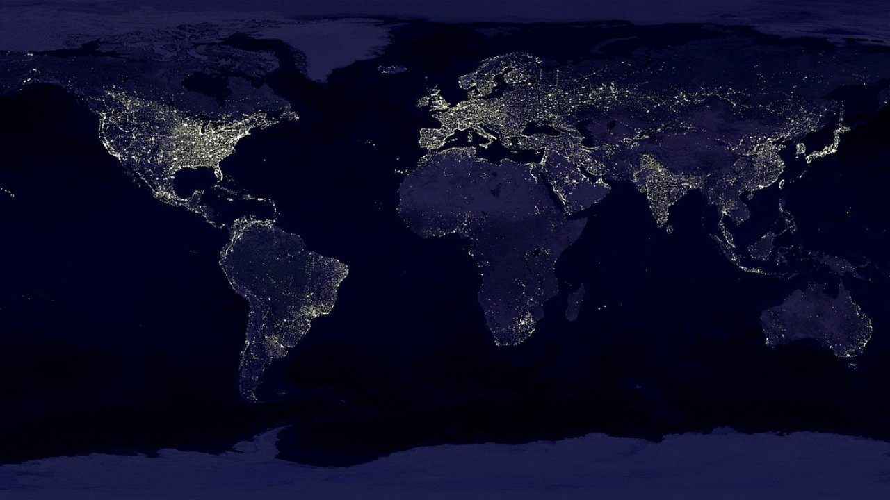
Imagine being able to analyze land cover changes across Indonesia in just minutes, without the need to download terabytes of satellite data to your local computer. That is what Google Earth Engine offers, a cloud-based geospatial computing platform that has transformed the way researchers, environmental analysts, and GIS practitioners work with remote sensing data.
Google Earth Engine stores a catalog of satellite data spanning decades from Landsat, Sentinel, MODIS, to weather and elevation data. All this data can be accessed and processed directly on Google's servers without the need for your own computing infrastructure. For anyone working with spatial data, this is a significant leap in terms of accessibility and efficiency.
What is Remote Sensing and Why is it Important?
Remote sensing is a technology for collecting information about the Earth's surface using sensors mounted on satellites or aircraft. The data produced includes multispectral images that capture light reflections at various wavelengths, ranging from the visible spectrum to infrared. From this data, we can identify types of vegetation, water conditions, land use changes, and even air quality.
In Indonesia, remote sensing plays a vital role in forest monitoring, land fire detection, peatland management, spatial planning, and disaster mitigation. The vastness of Indonesia's archipelago makes ground-based monitoring alone insufficient; satellite data becomes an invaluable complement.
Getting to Know the Google Earth Engine Interface
The Google Earth Engine Code Editor is a web-based development environment that uses JavaScript as its programming language. This interface consists of a code panel, an interactive map, and a results panel that allows for real-time visualization. Although it may sound technical, the learning curve is quite friendly for beginners, especially for those already familiar with basic programming concepts.
One of its main advantages is the ability to access and filter satellite image collections with just a few lines of code. For example, retrieving all Sentinel-2 images for the Kalimantan region over the past year with cloud cover below 20% is something that typically requires a lengthy download and preprocessing process.
Vegetation and Water Index Analysis
Two of the most common applications in remote sensing are the calculation of vegetation indices and water indices. NDVI (Normalized Difference Vegetation Index) measures vegetation density and health based on the difference in reflectance between the red and near-infrared bands. The higher the NDVI value, the denser and healthier the vegetation.
Meanwhile, NDWI (Normalized Difference Water Index) helps identify bodies of water and soil moisture. The combination of these two indices allows for comprehensive analysis of the environmental conditions of an area, from deforestation detection to drought monitoring.
Career Opportunities and Practical Applications
Expertise in Google Earth Engine and remote sensing opens opportunities in various sectors: forestry, precision agriculture, urban planning, disaster management, and environmental consulting. In the era of climate change, the demand for geospatial analysts capable of processing satellite data continues to rise, both in government agencies, environmental NGOs, and the private sector.
Starting with a strong foundation in understanding remote sensing principles, mastering the Earth Engine interface, and being able to perform basic index analyses will be valuable assets for further skill development in the geospatial field.
References:
- Kemendagri RI – Permendagri No. 20 Tahun 2018 tentang Pengelolaan Keuangan Desa → kemendagri.go.id
- Kemendes PDTT – Pedoman Peningkatan Kapasitas Aparatur Pemerintah Desa → kemendesa.go.id
- World Bank – Village Governance and Development in Indonesia → worldbank.org